css templates

Our professional drones provide high quality and accurate RGB, Thermal, Multispectral and LiDAR data, which is necessary to build the digital twin and get Business insights.

Survey and Mapping

Industries : Survey, Urban and Tax Planning, Hydrology, Mining, Coastal, Archaeology 
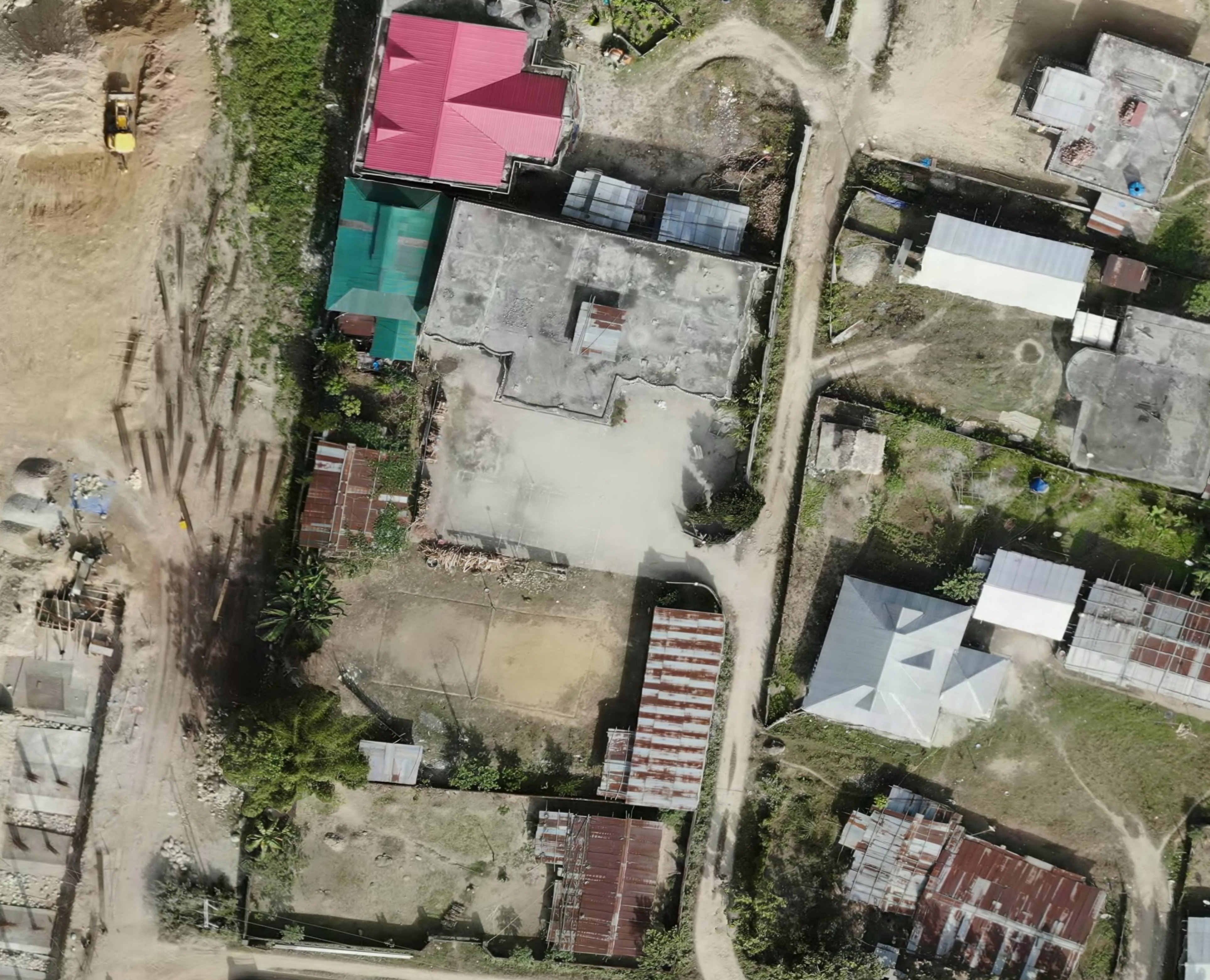
nevarsystems

2D 

2D Maps contain the location (X and Y coordinates) and Visual information of each point on the map.
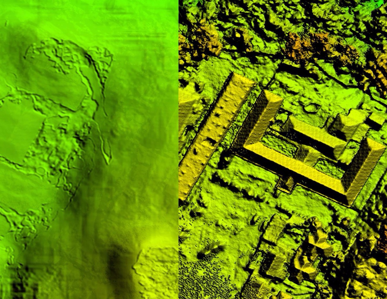
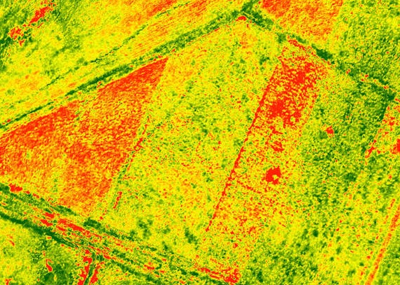
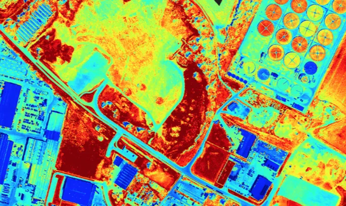
nevarsystems

DSM/DTM

A DEM and DTM is a representation elevation of the terrain at raster grid format. It is useful for hydrology, soils, Urban land use planning, flood mitigation plan and rainfall simulation.
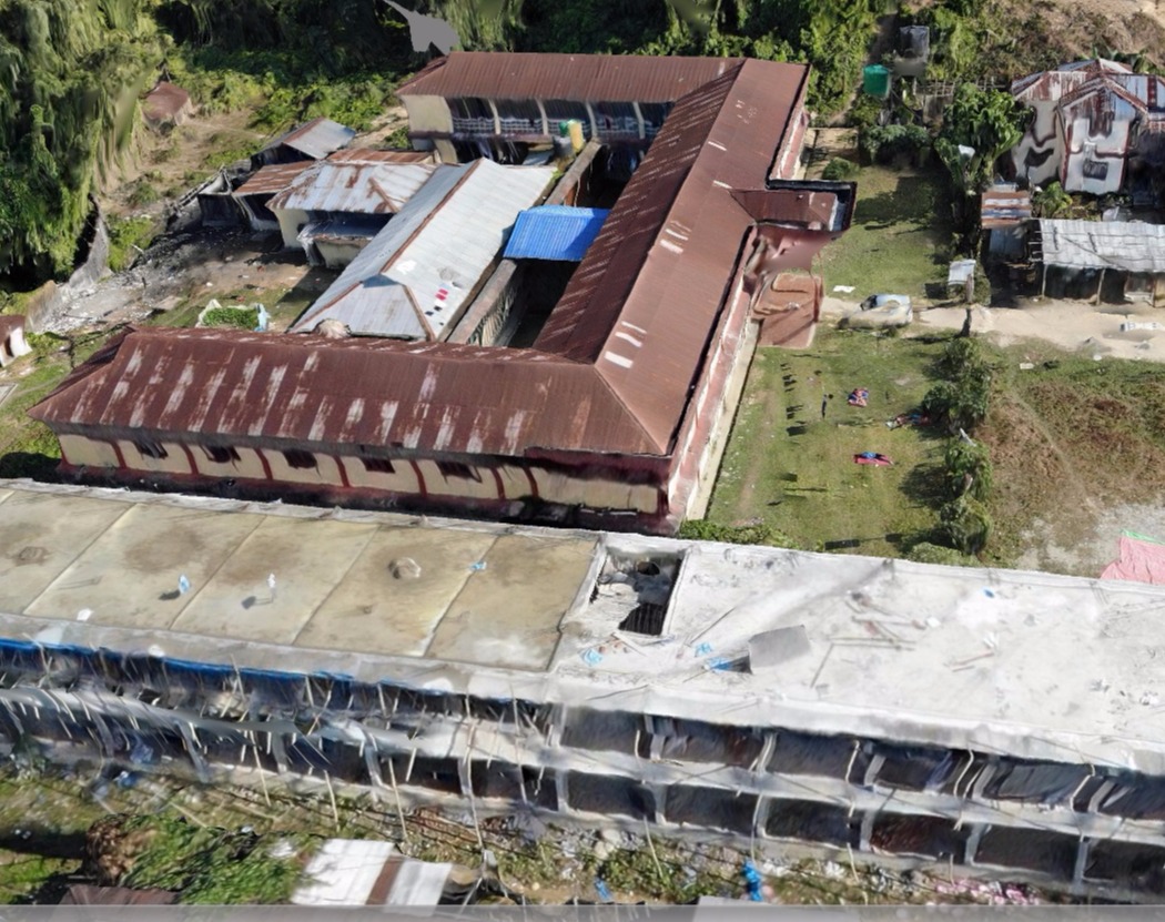
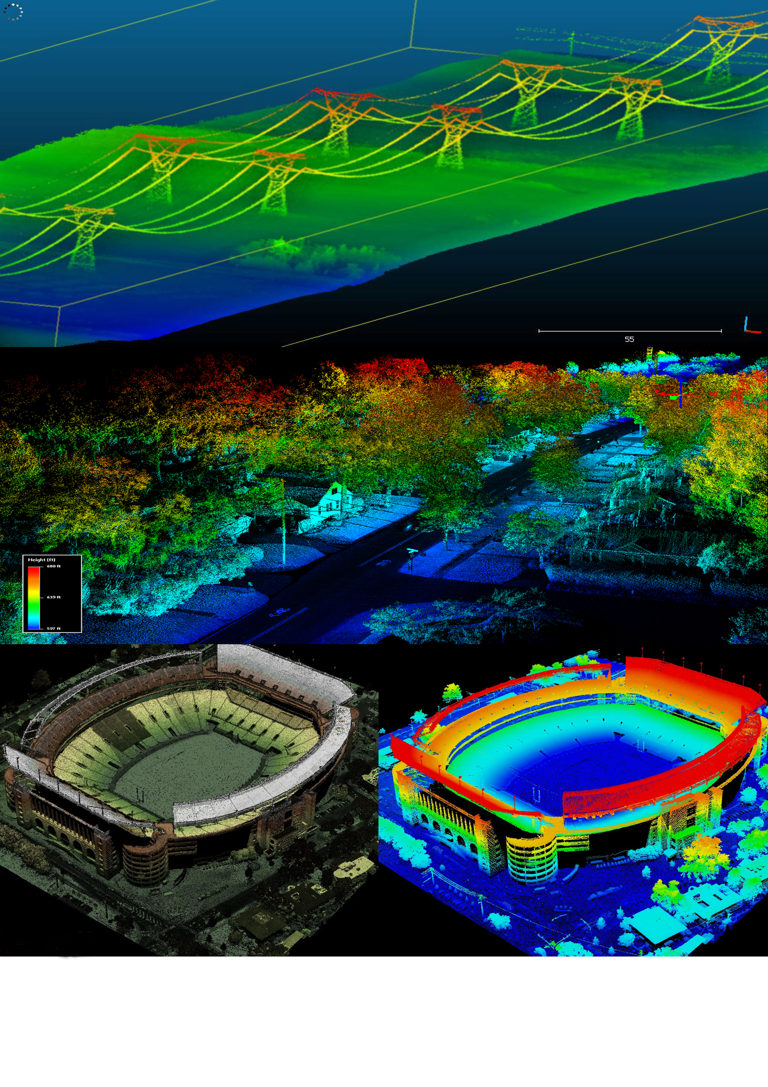
nevarsystems

3D Modelling

3D mapping, also known as photogrammetry mapping is the science of making measurements from photographs. Its used to calculate volume, distance, surface area and elevation.

Thermal

Thermal data is used for different industries like renewable energy, Agriculture, wild life, Construction

nevarsystems

Solar panel

solar panal inspection to find the defects, panal damage, hotspot, etc.
Increasing the Productivity

nevarsystems

Wild Life monitoring

Wildlife monitoring is essential for keeping track of animal movement patterns 

nevarsystems

Oil and Gas

Find the types of Gas and identify the pipeline damage for Oil and Gas Industries.

Multispectral and Hyperspectral

Industries : Agriculture, Forestry, Ecology and Environmental

nevarsystems

Multispectral

The collection of multispectral data is a critical step in performing more effective crop health analysis.
*Crop yield monitoring (NDVI)
*SOIL-ADJUSTED VEGETATION INDEX (SAVI)
*Crop Height monitoring

nevarsystems

Hyperspectral

Hyper spectral sensors are widely used in:
* Water quality assessment
* Vegetation index calculation 
* Full spectral sensing
* Mineral and surface composition        surveys

nevarsystems

Plant counting 

Plant Counting and Sizing tool over an area of interest to analyze crop emergence, segment crops by size, and track plant development throughout multiple growth stages.

nevarsystems

LiDAR

Light Detection and Ranging (LiDAR) surveys are carried out using heavy payload capacity Drones. 

Selection

Riegl, Yellowscan, Velodyne, Hokuyo, phoenix

Industries

Accurate 3D model for large scale construction, Heritage building conservation. Vegitation Management. Powerline Inspection. Indoor Mapping, Railway Maintenance.

Address

NEVAR Systems Pvt Ltd 
Atal Incubation centre,
Pondicherry Engineering College,
Pondicherry. 605 014

Contacts

Email  : info@nevarsystems.com
Phone: +91 9443636296